PLANS THAT CAN BE EXPLAINED
Route planning that fuses live environmental data with a knowledge graph, keeps the planner in control and presents the evidence behind every recommendation.
HOW IT WORKS
One workflow, with provenance at every step
Tasking
The mission and its constraints are captured in a structured, machine-readable form.
Planning
Environmental and spatial data are fused in a semantic knowledge graph.
Optimisation
Candidate routes are generated and scored against conditions, risk and endurance.
Approval
The decision-maker reviews the route, its metrics and its evidence, and then authorises it.
Execution and review
Outcomes are recorded and fed back to improve future planning.
TECHNICAL CAPABILITIES
Every route, with its rationale
Environment-aware routing

Constraints and zones

Risk and data-quality warnings
Endurance planning

Planner control

Plain-English queries
PROVEN IN DEMANDING ENVIRONMENTS
Built for the deep end
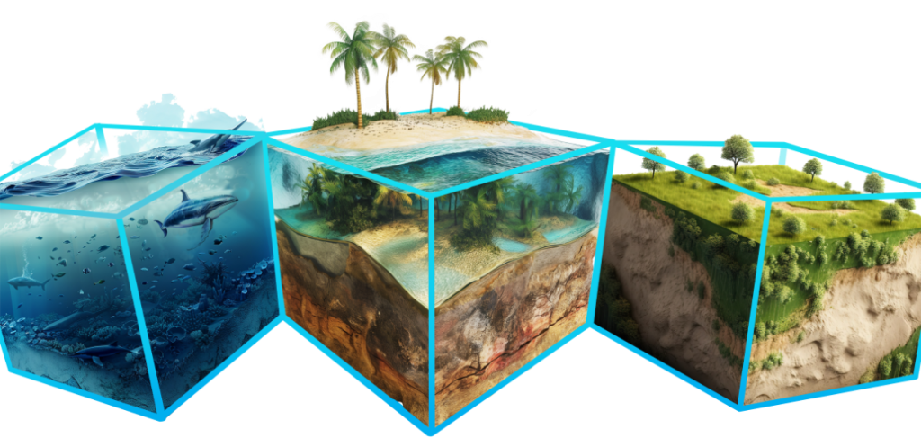
SURROUND Australia built and demonstrated its route and mission planning capability for an Australian Defence program in geospatial integration, planning routes for uncrewed underwater vehicles in an environment that is three-dimensional, constantly changing and unforgiving.
The prototype was delivered in March 2026 on a vendor-agnostic, open-standards architecture, and demonstrated with operational users.
DEEP DIVE: THE ROUTE PLANNER
Inside the route planner
Capability. The route planner converts a structured mission task into ranked, explainable route options. Tasks, including start and end points, time windows, platform, speed, endurance, depth limits and exclusion zones, are captured in machine-readable form. Environmental and spatial data are fused in a semantic knowledge graph. Candidate routes are computed over a network whose edge costs reflect real conditions, and each route is returned with its segments, warnings and summary metrics attached.
How the routing engine works. Forecast ocean currents are ingested as time-stamped snapshots at multiple depths. Environmental values are computed for each network edge and each snapshot, so that geometries are not duplicated and costs are not recomputed from scratch. At request time, the engine selects the relevant snapshot and is designed to update only the edges within the active depth and exclusion constraints, which keeps responses fast. The same pass checks chart-data confidence and battery use, and calculates a risk index that flags gaps in the underlying data.
Highlights. The capability was built and demonstrated as a vendor-agnostic prototype for an Australian Defence program in geospatial integration, where the environment is three-dimensional and changes constantly. The prototype was delivered in March 2026 and demonstrated with operational users. Planners can ask questions about the mission and its data in plain English, answered from the governed knowledge base. Every planning step is exposed as an OGC API process, so that steps can be tested, replaced or extended independently.
Explainability and control. Planners see several candidate routes side by side and can override them. A recommendation is always accompanied by its evidence: the conditions it assumed, the constraints it honoured and the data it relied on, including where that data is weak. The workflow records provenance from tasking through to review, so that outcomes can inform future planning and decisions can be reconstructed afterwards.
Client benefits.
- Plans reflect the conditions a vehicle or crew will actually encounter.
- Risk is visible before commitment, not after.
- Decision-makers can approve with confidence, because the reasoning is presented alongside the plan.
- The open, platform-agnostic architecture avoids lock-in to any single vehicle, map engine or cloud provider.
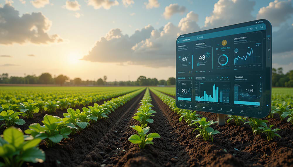
The same pattern of constraints, live environmental data, route, warnings and evidence applies equally to emergency response, infrastructure inspection, field operations and logistics.
Built on SURROUND Australia’s ontology and knowledge graph and OGC Building Blocks capabilities.
BEYOND THE SEA
The same pattern, on land and in the air
A task with constraints, live environmental data, a route, warnings and an evidence trail explaining the outcome. The capability applies wherever planning must respond to changing conditions.
SURROUND Australia can advise on how the capability applies to a specific operation.
- Emergency response: routing around flood, fire and road-closure data
- Infrastructure and asset inspection: optimised inspection runs, including footpath and road-condition audits
- Field operations: crews and equipment on land, with terrain and weather taken into account
- Logistics in difficult environments: where the shortest route is not the safest or the most economical
VERIFIABLE READINESS
Technology Readiness Level 6
A production-representative prototype demonstrated in a relevant environment. The next stage is hardening for operational deployment. SURROUND Australia states the readiness level of each capability, together with the supporting evidence.
THE TEAM
Specialists, end to end
Routing and geomatics expertise from Edge Geomatics, knowledge architecture from SURROUND Australia, and software, cloud and AI engineering from partner 2pi Software.
A route that has to be right?
SURROUND Australia welcomes details of the mission, the operating conditions and the decisions planners face, and can demonstrate how the capability fits.